Planning a Sunset Shot in Valdez

Feb 1, 2020 | by Zachary Sheldon

As a landscape photographer, my favorite time to photograph is the golden hour. That hour or two (in summer) around sunrise and sunset where there can be an array of colors on the clouds. As long as it's not overcast, the three weeks surrounding winter solstice, the golden hour last nearly all day long. There are a few things I look at when going for a planned photo. First obliviously is what time sunrise or sunset is. Usually I have been paying attention and know sometimes it's been overcast or I've been busy with life and you can Google it, then if my shot is practically roadside I give myself about 30 minutes before that to get out there and get the shot setup. Some shots require a few hours of bushwhacking up a slope and need an additional hour built in to that for any assurance there's going to be a chance I'm in the right place in time.

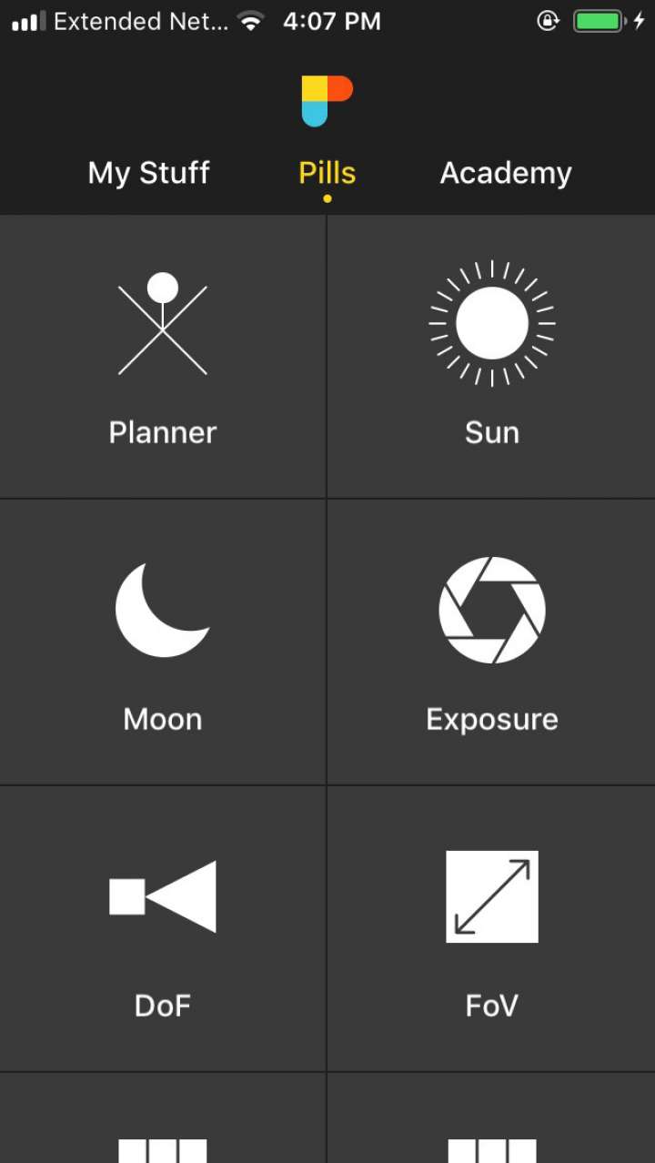
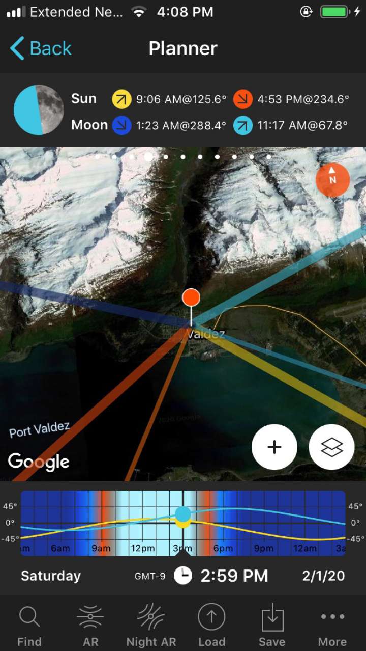
A great little app I use when planning shots is called PhotoPills. It has a huge array of tools but the one I use the most is its Planner feature. You can drop a pin on a Google Map and it will tell you the sunrise, sunset, moonrise, and moonset. It will also tell you the phase of the moon and draw out exactly which direction they will be rising and setting from. That comes in handy when I want to align the moon or sun in Valdez Narrows or next to a particular peak. I know ahead of time where I need to be standing when it's time to release the shutter.

Another resource I use is the FAA Aviation Cameras. In particular Potato Point (QAO), it looks out at Prince William Sound so I have an idea of what the clouds are doing out there. If the sun is going to disappear behind a huge cloud bank before it actually sets, or in reverse is the sun going to come out from behind the clouds tucking in under our current cloud cover to paint up the bottom of the clouds. It also shows me the type and volume of clouds that I can possibly expect to have by sunset. Clear skies lack texture and color and provide big boring spaces in your landscape photography. Occasionally I'll check out the Valdez (VDZ) (PAVD) while I'm at it, it doesn't really require effort to take a peak at it. But in winter it can let me know if while it's clear out here at Robe River town is socked in with fog. Then of course if I'm heading out to Thompson Pass I'll check out Thompson Pass (K55). I even use that when planning on snowmachining up there.

I also keep the Valdez AWOS as a contact in my phone 907-835-5578. If you're not familiar with AWOS it's the Automated Weather Observing System for pilots. The important information to glean off that is the cloud ceiling level. You can also get it off the AVcams page by clicking on Valdez and then clicking on a photo to enlarge them. Then click on the METAR tab, and look under Sky Conditions. This is important because, in summer chances are if the clouds are below 7,000-8,000 feet you're not going to get those pretty clouds. If they're up above 12,000 feet it will give you a little more time to get ready for your ideal shot.

Another good resource is tides4fishing, click HIGH TIDES AND LOW TIDES on the left side menu. If you're wanting to plan something at Duck Flats, Mineral Creek Islands, Old Valdez, or the hatchery the tides play a critical role in access and framing.

It's also good to see which direction the weather is coming from as it's not always moving from Prince William Sound. NOAA has a good image to give you an idea of what the weather is up to.