The Lowe River

Fancy a Float?
Experience
Lowe River

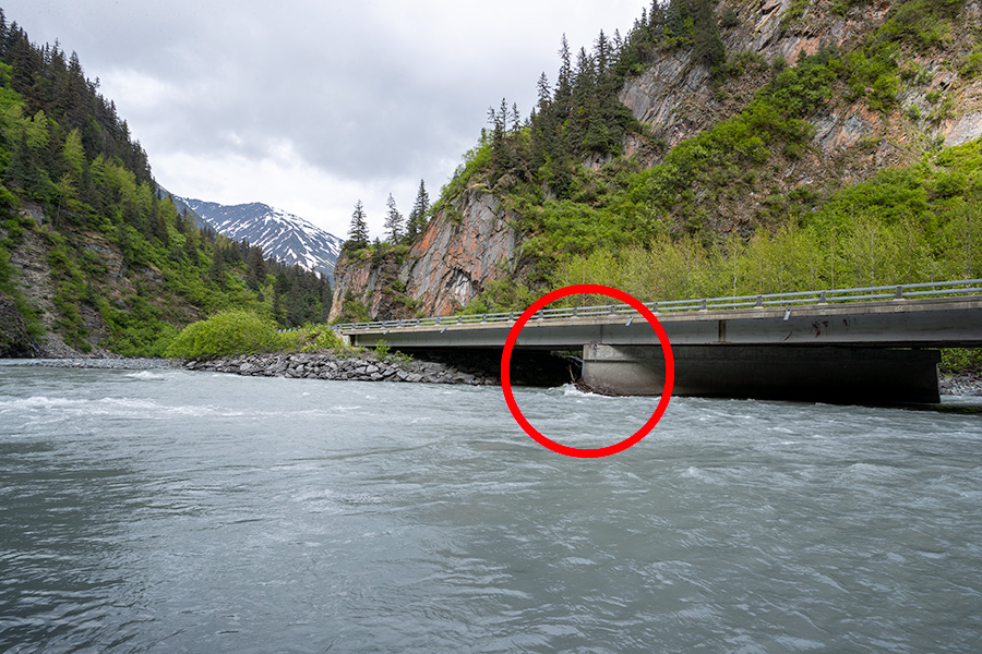
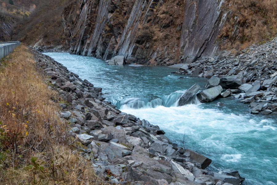
The Lowe, named by Captain W. R. Abercrombie, in 1898, for Lieutenant Percival G. Lowe, a member of his exploring party, is a river begins one the west end of Marshall Pass on the south side of Thompson Pass and extends 28 miles to Port Valdez. Much of the Lowe River is Class II except while passing through Keystone Canyon where it is Class III.

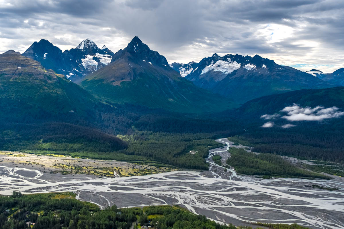
Lowe River is fed by over a dozen glaciers giving the water the typical chalky grey look as glacier silt is picked up by the glacier melt and carried a couple miles into Port Valdez before being pushed down by the warmer denser salt water. The Lowe isn't ideal for fishing as most salmon traveling the Lowe head to spawning grounds that can only support a small population.

Throughout the year moose, coyotes, bears, bald eagles, swans, and a large variety of ducks and gulls can be found along the Lowe River.

Pangaea offers river rafting tours on the Lowe River through Keystone Canyon.

Lowe River in Valdez, Alaska
What to expect when floating the Lowe River independently.

For most people floating the Lowe River will begin between the bridge and west side of Keystone Canyon, just before entering the canyon. On the north side of Richardson Highway there is ample room for vehicles to pull off the road and boaters to launch their raft or kayaks.

There are a few standard obstacles to look out for when floating the Lowe River.

Bridge Pilings

Bridge pilings are the number one cause of fatal accidents on the Lowe River. Be aware of where they are and make a clear line around them.

Ruddlestone Snag

Right past the second bridge in the canyon there's an old metal snag at Ruddlestone Falls. During most high water times it's mostly submerged, but definitely something you don't want to come in contact with. After passing under the bridge stay center or right river.

The Drop

Just up river from Bridal Veil Falls there is the largest drop in the river. It shouldn't be anything too technical for experienced paddlers, but for a newbie it can be trouble, especially at times of high water.

Valdez's Largest Braided Stream

Changing flow volumes by season and weather.

Lowe River can largely vary on its flow rates throughout summer. In April and early May the Lowe flows clear and relatively calm at around 200-500 cubic ft per second as it passes Bridal Veil Falls. After the first week of May the Lowe begins filling with the uptick in continual melt within its watershed and jumps from 800 to 2,800 cubic ft per second by the end of May. June through September the Lowe is now running at full flow of 3,000 cubic ft on both ends and peaking around 5,500 cubic ft per second in July and early August. However over those 4 months the flow rate will continue to rise and fall as heat waves and lasting rain pass through the Valez area.

By October the Lowe is back to generally under 1,200 cubic ft per second and tapering off to around 350 cubic ft per second by the end of October. November Lowe River is running clear again and flowing at around 150-300 cubic ft per second. December through March most of the Lowe River is frozen over and passible on foot or with a snowmachine. However you should still exercise caution and get local recommendations before attempting such travel if not familiar with the area in winter.

Passing beneath Bridal Veil Falls.

At just after 13 miles in along it's course, Lowe River passes beneath the 600ft tall Bridal Veil Falls, making the falls inaccessible to most visitors. However those rafting Lowe River may stop and stand beneath the falls with they are flowing lightly. Bridal Veil Falls in indeed one of the most prominent features along Lowe River.

For those following the Lowe River from along the Richardson Highway, Bridal Veil Falls is still easily seen from the road and has a nice pull out to park and take photos from.